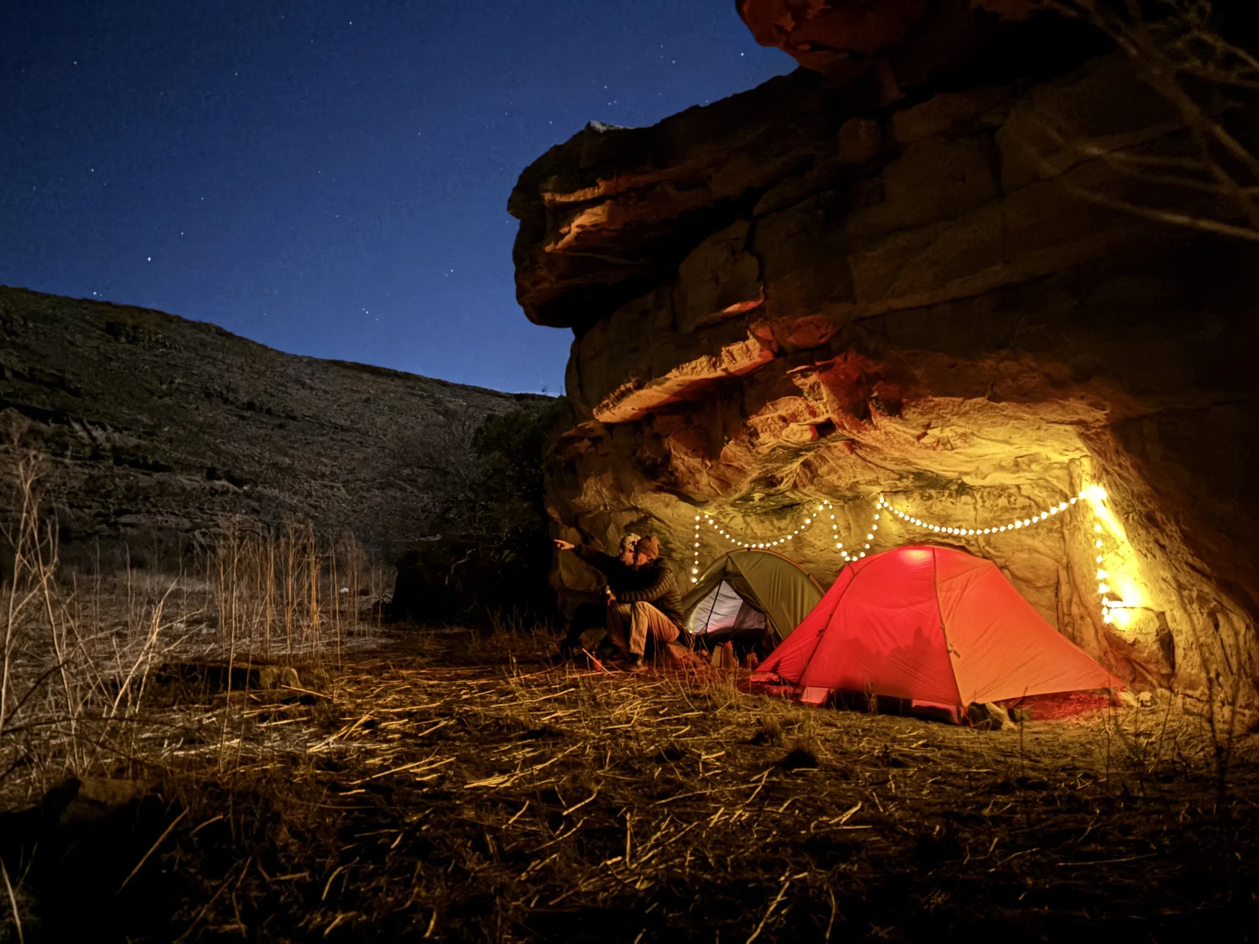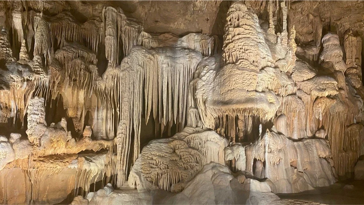
I use cave and karst systems as records of how water, climate, and sea level have changed, and as places to study how water moves through landscapes today. My work integrates stratigraphy, geochemistry, and geochronology.
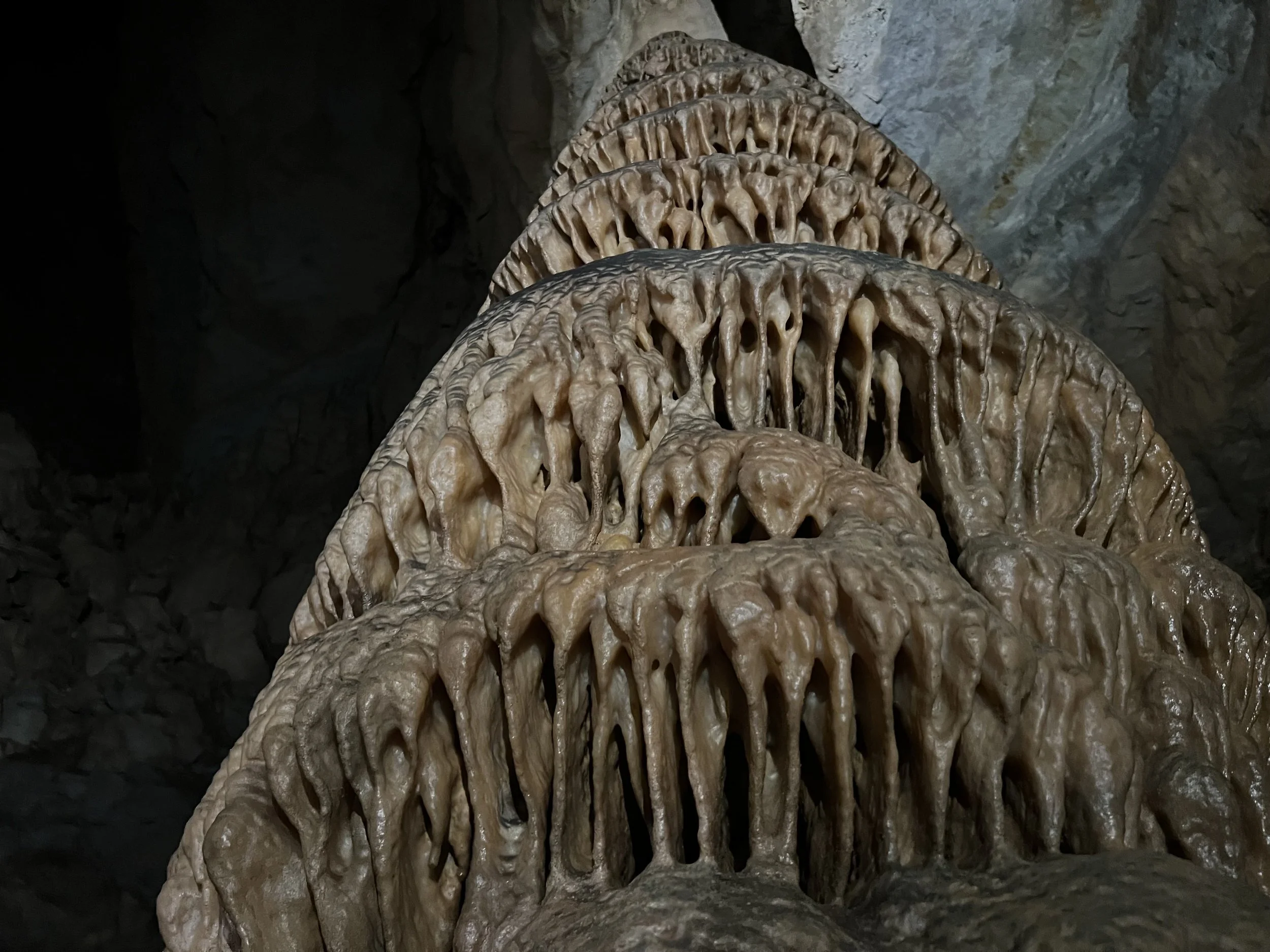
How caves record climate.
I monitor active caves to learn how climate and hydrology are encoded in stalagmite chemistry. Using one of the world's longest-running cave monitoring datasets, we found that seasonal cave ventilation, not aridity, drives some trace-element signals, which challenges a common interpretation of the proxy. I also work to improve our utility of oxygen isotopes to record past environmental changes.
Deglacial climate of Texas.
Climate models disagree about Texas's future water supply. I build high-resolution stalagmite records from caves across the Edwards Plateau and compare them with climate model simulations of the last deglaciation to test how well models capture past aridity shifts.
Water quality and emerging contaminants.
Urban karst aquifers are highly vulnerable to contamination. I measure per- and polyfluoroalkyl substances (PFAS) in Austin-area springs and along the Colorado River. Additionally, I measure PFAS in karst caves to understand fate and transport of these contaminants from surface deposition into groundwater resources.
Dating cave fossils.
Bones in caves are hard to date because they exchange uranium and thorium after burial. I am developing cleaner, minimally destructive U-Th methods to produce age models for cave fossil assemblages.
Last Interglacial sea level (Bahamas).
Sea level during the last warm period was 6-9 m above present, but coastal records likely underestimate the peak. I combine cave carbonate stratigraphy with glacial isostatic adjustment modeling to find where peak sea level is preserved inland. Preliminary results suggest higher peaks than previously estimated, with implications for how much polar ice melted under modest warming.